Hurricane Modules
Posted on: 2018-09-11

September 11, 2018: Hurricane Florence is forecast to have severe consequences for the East Coast of the United States, especially in North Carolina, South Carolina, and Virginia. Tropical Storm Olivia is threatening Hawaii, Super Typhoon Mangkhut is threatening the Philippines, Taiwan and Hong Kong, and Tropical Storm Isaac will enter the Caribbean Sea. High winds and storm surge are an immediate threat near the landfall location. Flooding rainfall can continue for days after the hurricane weakens and for hundreds of miles from the point of landfall. Dangerous rip currents can affect beaches far from the hurricane. Please enjoy these free, online lessons about these topics and feel free to explore other lesson on the MetEd website.
Hurricane Storm Surge Animation
This video shows the wind and flooding damage that could occur with different category hurricanes.
This module creates a scenario to frame learning activities that focus on hurricane science and safety.
Over the course of seven days, Hurricane Erin forms in the Atlantic Ocean, crosses the Florida peninsula, and then makes another landfall at Fort Walton Beach. During these days, the learner is introduced to many basic concepts of atmospheric science, climate, and geography, while also learning some important and possibly life-saving safety and preparedness skills. The module includes several interactive games and activities that address hurricane meteorology and hurricane safety.
Real-time Storm Surge Products
This lesson describes the real-time storm surge products that are issued by the National Hurricane Center (NHC) and National Weather Service Weather Forecast Offices (NWS WFOs) during a significant tropical cyclone event along the Atlantic and Gulf coasts of the United States.
Tropical Cyclone Forecast Uncertainty
This lesson introduces learners to the uncertainty and errors in forecasting the track, timing, and intensity of tropical cyclones. It provides an overview of how the National Hurricane Center’s cone of uncertainty is constructed, as well as its uses and common misconceptions. Learners will explore the influences of track, timing, and intensity forecast errors on potential tropical cyclones impacts.
Introduction to Tropical Cyclone Storm Surge
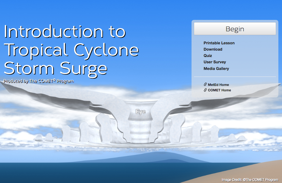
This lesson introduces forecasters to the physical processes and impacts of tropical cyclone storm surge. It provides an overview of the factors that affect storm surge, how it is measured, and the limitations associated with storm surge data.
Determining the Onset and Risk of Tropical Cyclone Winds
This lesson introduces forecasters to the probabilistic guidance products used by the National Hurricane Center to assess tropical cyclone wind threats. It provides an overview of how these probabilistic wind speed products are created, their purposes, and how to interpret them. The lesson also provides practice in determining the total risk and timing for location-specific peak wind events.
WPC Rainfall Guidance for Tropical Cyclones
This lesson introduces learners to the challenges in predicting precipitation associated with tropical cyclones (TCs). It also provides an overview of the deterministic and probabilistic rainfall guidance products issued by the Weather Prediction Center (WPC) to forecast TC-related precipitation. Learners work through a TC case to practice interpreting the guidance correctly and communicating the precipitation threat.
Rip Currents: Nearshore Fundamentals
This module provides insight into how nearshore circulation and wave dynamics are involved in rip current formation. Topics covered in this module include: nearshore terminology, circulation and waves, rip current characteristics, and rip current forcing mechanisms. This module is the second of three modules covering the forecasting of rip currents.
Forecasting Tropical Cyclone Storm Surge

This lesson introduces forecasters to the various probabilistic guidance products used by the National Hurricane Center to forecast storm surge. It provides an overview of how these probabilistic surge products are created, their purposes, and why they are preferred to deterministic-only style guidance for specific events. The lesson also provides practice in correctly interpreting probabilistic storm surge guidance at various phases of an event.
For those in the Pacific looking at the forecast for Typhoon Mangkhut.
This lesson (available in Chinese) introduces the typhoon QPF forecasting methodology used by the CWB, including the role played by the analogue method and the typhoon rainfall climatology model in Taiwan. The lesson discusses the advantages and limitations of the Ensemble Typhoon QPF model, and includes a case to help learners practice interpreting this guidance and summarizing it to Emergency Operation Centers.
Community Hurricane Preparedness, 2nd Edition
The purpose of this course is to provide emergency managers who face threats from tropical cyclones and hurricanes with basic information about:
- How tropical cyclones form
- The hazards they pose
- How the NWS forecasts future hurricane behavior
- What tools and guiding principles can help emergency managers prepare their communities
GOES-16 and S-NPP/JPSS Case Exercise: Hurricane Harvey Surface Flooding

How can satellite data help with analyses and short-term forecasts of surface floodwater. This lesson will highlight the August 2017 flooding associated with Hurricane Harvey in southeastern Texas, one of the most costly weather disasters in U.S. history. Through the use of interactive exercises the learner will become familiar with use and interpretation of satellite imagery in regions with surface flooding.