Introduction
This is part two of the two-module series on estimation of observed precipitation.
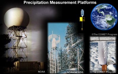
The first module focused on measurement: understanding measurement sensors—radar, satellite, and rain gauges—along with precipitation climatology tools.
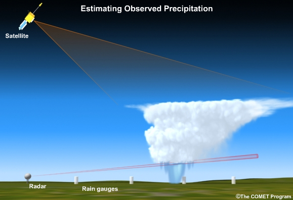
In this module, we’ll focus on how to make the best use of different precipitation measurements for an analysis. The ultimate goal is to develop a blended product that combines the best of radar, satellite, and rain gauge measurements for an optimal analysis of observed precipitation. The module draws on the experience of forecasters in NOAA’s National Weather Service (NWS) to suggest the best way to do this.
Related training is also available through the NOAA Warning Decision Training Branch (WDTB).
Multisensor Precipitation Estimator Product Training, NOAA/WDTB
http://www.wdtb.noaa.gov/buildTraining/FFMP-A/MPE/player.html