Introduction: 1045 am, 19 July 2018
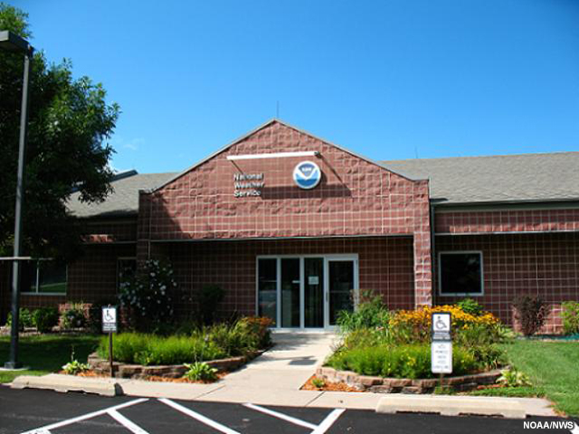
The National Weather Service Weather Forecast Office in Des Moines, Iowa.
It is 1545 UTC (1045 am local time) on 19 July 2018 in the Des Moines, Iowa, National Weather Service (NWS) Weather Forecast Office (WFO) and you are checking the latest guidance and products to determine how weather conditions might evolve into the afternoon.
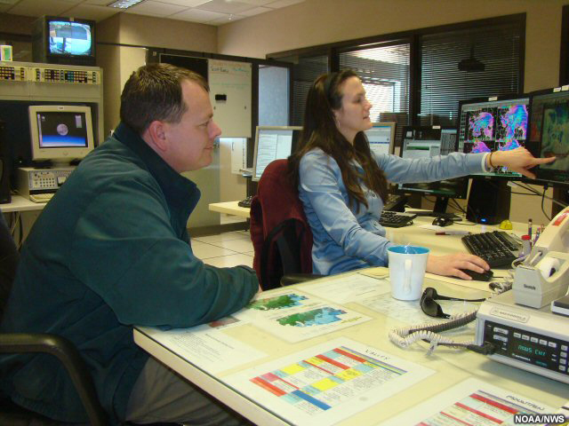
Two forecasters discuss the weather outlook for the day.
You turn to your forecast colleague on shift and remark, “The weather situation for today definitely looks concerning.”
She replies, “Yes, we’re already planning for most of us to stay on shift longer today. And we’re evaluating whether we should get some staff in early, to have more support ahead of the afternoon shift. Already there’s a lot of decision support going out prior to anything severe building. We’ve given a heads up to emergency managers in several counties that there is a potential for severe weather today.”
You look at the product displays on your workstation and comment, “Let’s check in on what the current guidance is showing. If it does look like things will start to spin up this afternoon, we can start planning now for what we might need.”
Question
If severe weather develops in your area, your office will be using all available tools to produce the most accurate and timely forecasts. Which of the following outcomes will depend on you having a full suite of information about the current environmental set-up to inform your forecasts? Choose all that apply.
The correct answers are highlighted above.
All of the above depend on having a full suite of information about the current environmental set-up so that you can produce the most accurate and timely forecasts, particularly if severe weather develops in your area. As part of your job on the forecast desk, you will continuously monitor the weather, adjust your forecast to reduce uncertainties, and consider other factors that may increase the significance of the expected weather.As you complete your forecast tasks for today, you will explore how GOES-R and JPSS satellite information can be used to help build situational awareness of the weather, by using satellite products to help assess the pre-convective environment and identify convective initiation signatures.
This training lesson uses a convective case as an example to illustrate satellite applications; it is not a ‘one size fits all’ lesson. One goal of this lesson is to help you understand the utility of certain satellite products in convective situations so that you can apply these skills to your own convective weather forecasting situations.
Let’s begin by taking a look at the weather conditions across southern Minnesota, Iowa, and the surrounding area this morning.