Satellite Products » Night Microphysics RGB
Description
This RGB lets you identify nighttime low-level clouds and fog, and differentiate them from snow cover. You can also determine cloud heights. The colour of some features depends on latitude and season.
This RGB is made from three different IR channels and channel differences. It thus can be used any time of day, but the night microphysics RGB is tuned for nighttime.
Effective Use
Both the season and weather regime play a role in dictating the colour of some features in this RGB. Because this RGB is all IR channels, the colours are controlled heavily by the cloud-top temperature and cloud-top temperature difference between channels. This can have a strong dependence by season, viewing angle or overall temperature profile. Generally, low clouds/fog appear:
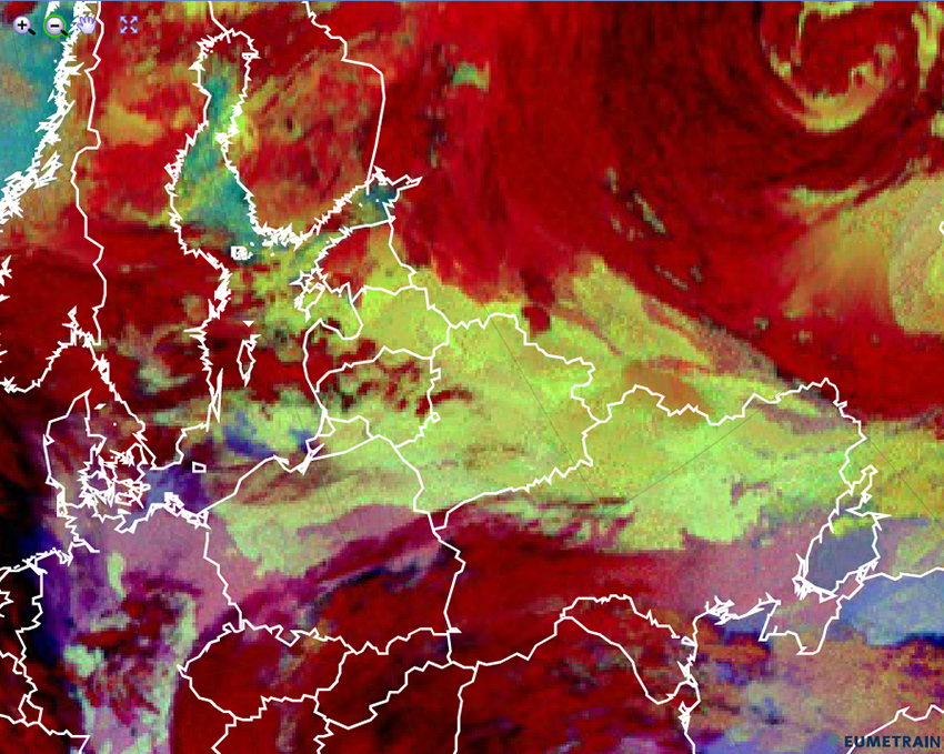
- green in the mid- and high-latitude cold seasons and during cold weather regimes
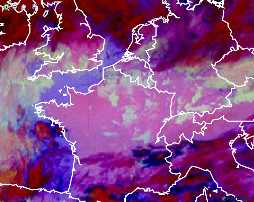
- light blue in the mid- and low-latitude warm season and during warm weather regimes
Examples of each follow.
Cold Season/Regime
Warm Season/Regime
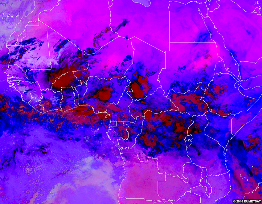
High cirrus clouds are purple to black; thick ice clouds are dark red; and mid-level clouds are pink to brownish.
In the tropics, low-level stratiform clouds are light blue. Mid-level clouds are pinkish to brownish, and high-level cirrus are black to dark blue.
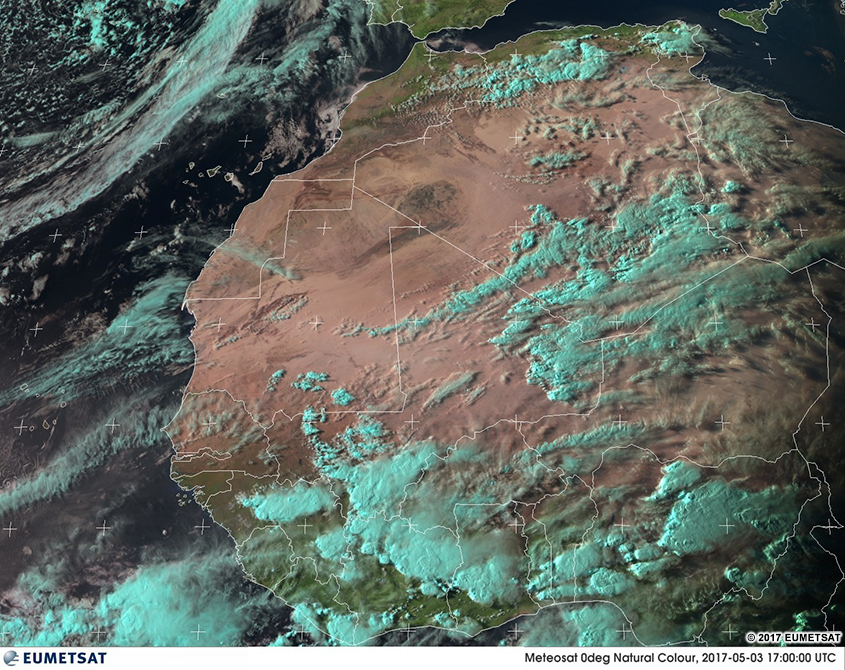
If you want to verify whether clouds are present before sunset, look at the natural colour RGB or visible imagery. This is particularly important during seasonal changes when low clouds and fog change from being green to light blue or light blue to green, as this can cause confusion when weather regimes differ on a daily basis.
Move the slider to see how the natural colour RGB (first image) can help identify low fog/clouds before sunset.
In the loop below, the sun is setting and some areas are starting to show up as low clouds/fog. This example highlights the importance of knowing the timing of your imagery.

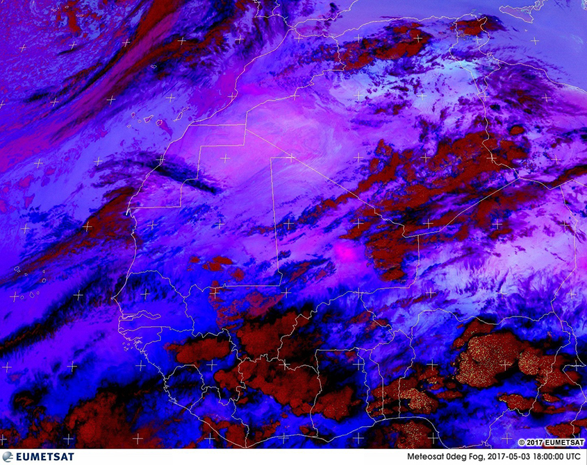
Here is the real-time imagery from the MSG night microphysics RGB. Explore the imagery by double-clicking (pinching on mobile devices) to zoom and dragging the image to move view. Below the real-time image, you will find a list of questions to ask yourself for exploration and self-evaluation purposes.
* Live data only available for interactive lesson.
Using the real-time imagery, answer the following questions.
- Are features visible at this time of day on the RGB?
- Would these features be visible at other times of day?
- What features really stand out to your eyes in this RGB?
- What range of colours are clouds?
- Do those colours represent cloud-top heights?
- Do those colours represent cloud thickness?
- Do those colours represent temperatures?
- Do those colours represent some other process?
- What range of colours are surface features?
- Do those colours represent the temperature of the object?
- Do those colours represent the albedo of the object?
- Do those colours represent some other process?
- If you are located within the satellite viewing area of MSG, look outside for clouds and surface features. See if those features show up on the imagery by zooming in to your location. What colours do you expect those features to be in this imagery? What colours are those features in the imagery?