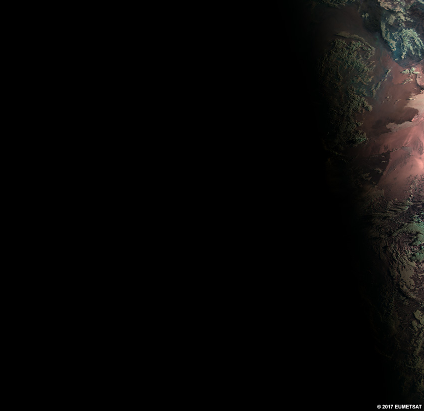
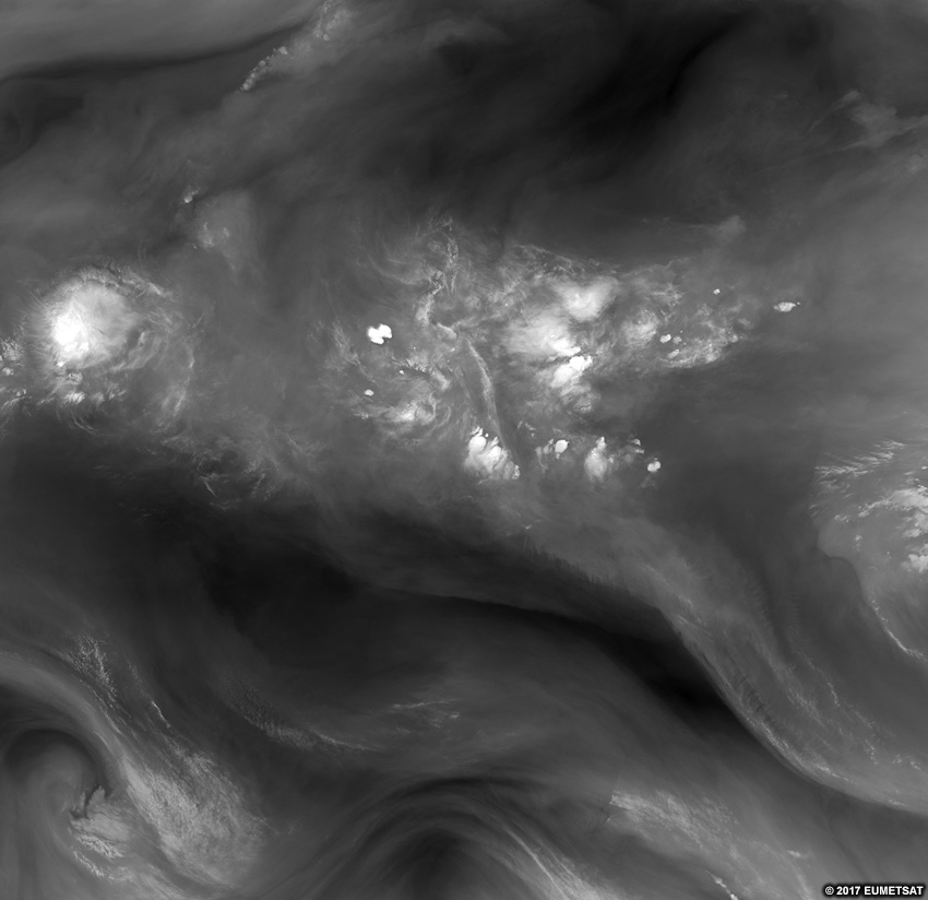
Introduction
Satellite imagery is a powerful tool for quickly assessing the current weather situation over large areas at any time of day. You can diagnose synoptic-scale weather patterns, track the growth of individual convective storms, differentiate high clouds from low ones or ice clouds from liquid ones, and distinguish between low clouds, snow, dust, land and water surfaces.
In this lesson, you will learn how to identify features using three basic satellite channels and common RGB products. Specifically, you’ll differentiate cloud types, their relative heights, and cloud thickness. Identifiable surface features include dust, snow, land, ocean, and vegetation type.
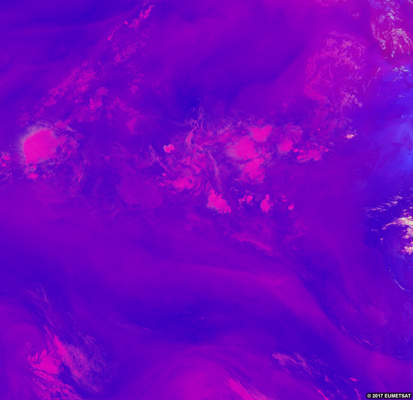
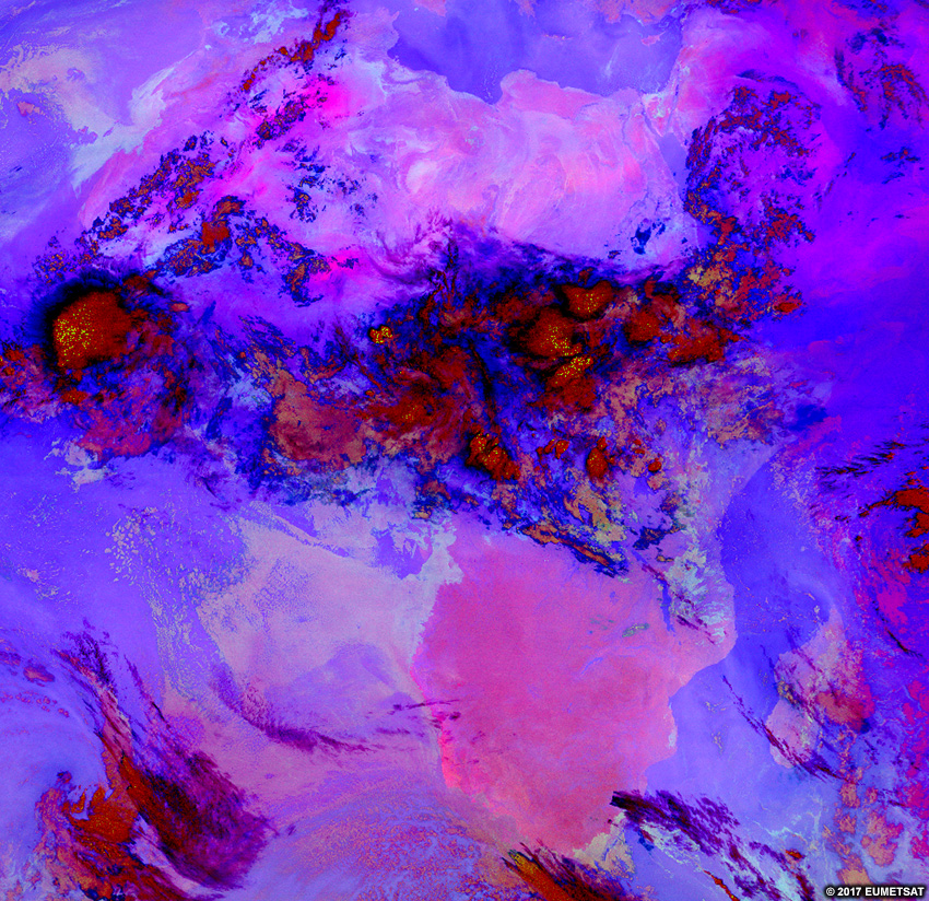
These features are present in the images below. Click through the tabs, noticing how certain products provide better views of some features than others. By the end of the lesson, you’ll know which products to use to identify each feature.
Visible
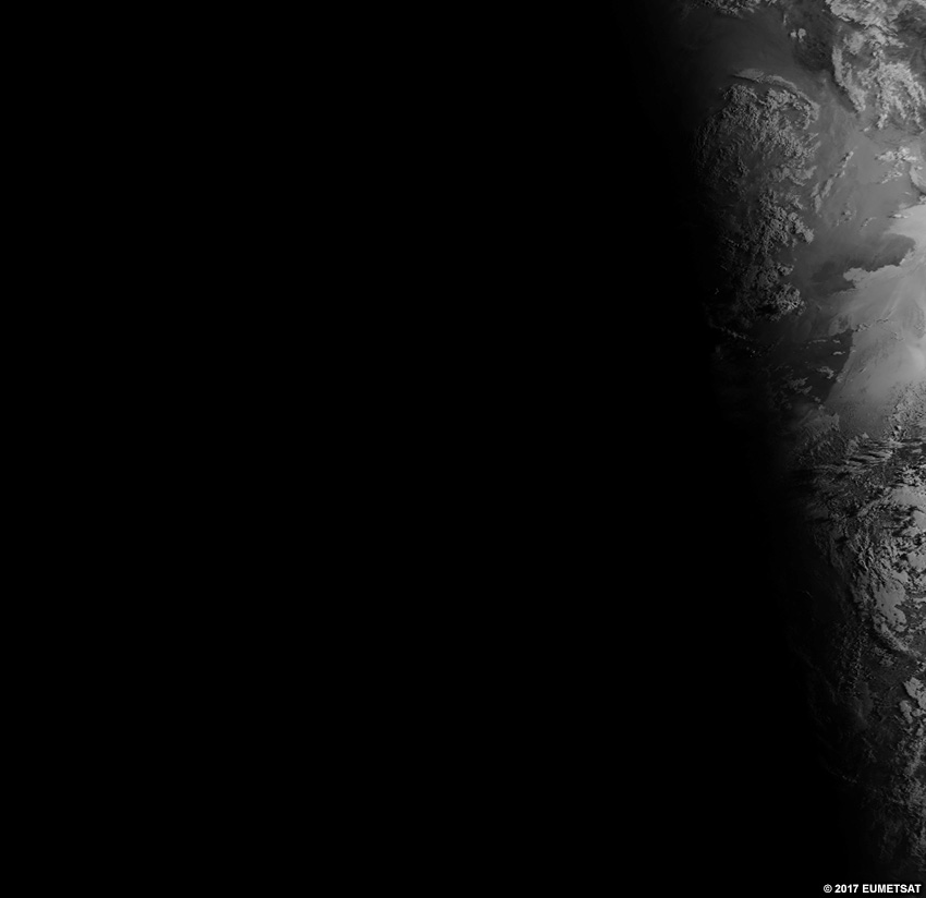
Infrared

Water Vapour
Dust
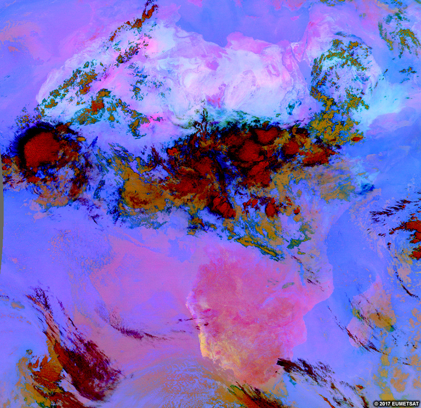
Severe Convection
Night Microphysics
Natural Colour