Satellite Products » Natural Colour RGB
Description
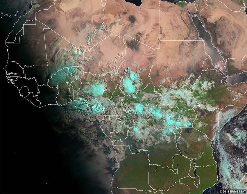
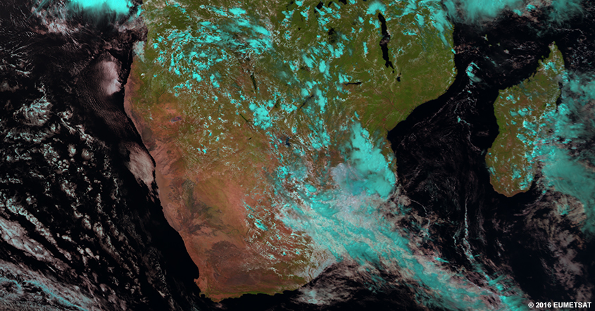
Recall that visible imagery shows what our eyes see in grey shades. The natural colour RGB does this too, with the addition of colour, and most features look realistic.
This product combines three channels (two visible and one near-infrared) to make a colorized version of the visible imagery. Surface ice/snow and ice clouds all show up in the imagery as differing shades of cyan (light blue). Since the RGB is partly made from visible channels, it is not useful at night.
Effective Use
Most surface features look realistic in this product:
- grasslands and forests are typically green
- water appears black
- desert is tan to reddish brown
- clouds are white-pink
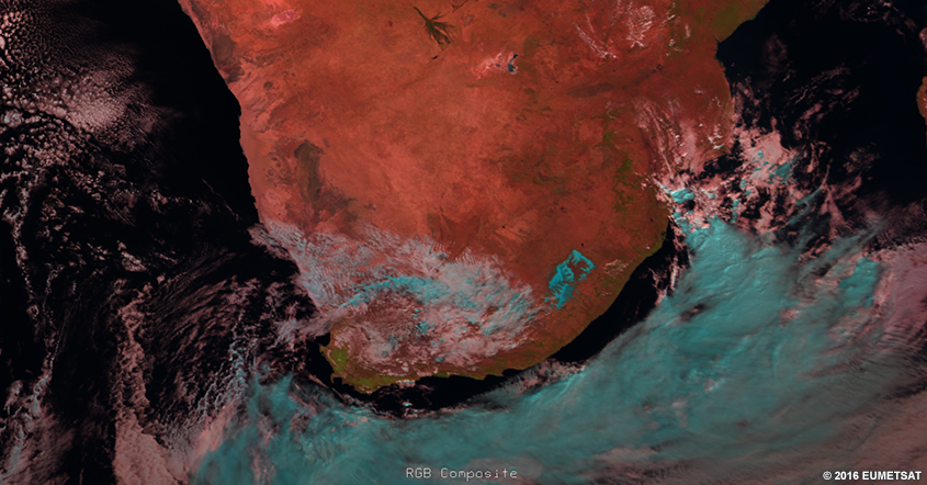
Surface ice/snow and ice clouds appear in shades of cyan (light blue) helping to differentiate them from water clouds. The example below has a mixture of ice and water clouds.
The biggest limitation to this RGB is that ice clouds and surface ice/snow have the same colour (cyan), making them difficult to distinguish from each other. We can see this below over Lesotho. Another important limitation is that water clouds with large droplets (such as marine stratocumulus) can also appear light blue on this imagery.
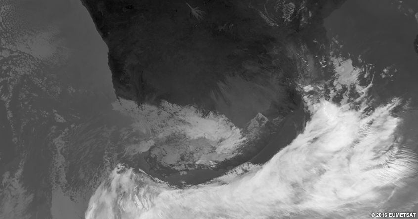
To differentiate them, animate the images and look for cloud growth or motion. This may be challenging if snow is melting at a rate similar to cloud growth or decay. For a more definitive answer, check other products such as IR imagery.
Here is the real-time imagery from the MSG natural colour RGB. Explore the imagery by double-clicking (pinching on mobile devices) to zoom and dragging the image to move view. Below the real-time image, you will find a list of questions to ask yourself for exploration and self-evaluation purposes.
* Live data only available for interactive lesson.
Using the real-time imagery, answer the following questions.
- Are features visible at this time of day on the RGB?
- Would these features be visible at other times of day?
- What features really stand out to your eyes in this RGB?
- What range of colours are clouds?
- Do those colours represent cloud-top heights?
- Do those colours represent cloud thickness?
- Do those colours represent temperatures?
- Do those colours represent some other process?
- What range of colours are surface features?
- Do those colours represent the temperature of the object?
- Do those colours represent the albedo of the object?
- Do those colours represent some other process?
- If you are located within the satellite viewing area of MSG, look outside for clouds and surface features. See if those features show up on the imagery by zooming in to your location. What colours do you expect those features to be in this imagery? What colours are those features in the imagery?