Satellite Products » Visible Channel
Description
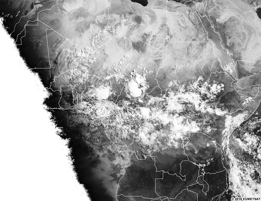
The visible channel works like a black and white photograph of Earth. Objects that look dark to our eyes appear dark in visible imagery and vice versa.
All land surfaces, including deserts, water bodies, vegetation, and bare ground, can be seen in visible imagery during daylight hours.
All cloud types are visible in daytime. The brightness of the clouds can change over the course of the day. At mid-day, clouds appear bright white. At sunrise and sunset, when the sun angle is low, they appear somewhat darker. At night, no light is reflected and thus the image is black.
Effective Use
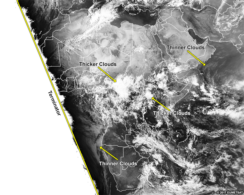
Visible imagery is very useful for identifying cloud types and seeing the structure within clouds during daytime. The differences in grey shades indicate differences in cloud thickness, land cover, or ocean surface. Where the imagery cuts off is where the sun is not shining on the imagery. The line between where the sun is up and the sun is down is called the terminator. The slope of the terminator should indicate the season. The hemisphere with more light along a latitude line is in summer.
Here is the real-time imagery from the MSG visible channel. Explore the imagery by double-clicking (pinching on mobile devices) to zoom and dragging the image to move view. Below the real-time image, you will find a list of questions to ask yourself for exploration and self-evaluation purposes.
* Live data only available for interactive lesson.
Using the real-time imagery, answer the following questions.
- Are features visible at this time of day on the imagery?
- Would these features be visible at other times of day?
- What range of colours are the clouds?
- Do those colours represent what your eye sees?
- Do those colours represent the temperature of the object?
- Do those colours represent some other process?
- What range of colours are surface features?
- Do those colours represent what your eye sees?
- Do those colours represent the temperature of the object?
- Do those colours represent some other process?
- If you are located within the satellite viewing area of MSG, look outside for clouds and surface features. See if those features show up on the imagery by zooming in to your location. What colours do you expect those features to be in this imagery? What colours are those features in the imagery?