Viewing the Antarctic Region with OLS and AVHRR Visible Imagery (Page 1 of 4)
Return to the previous menu.
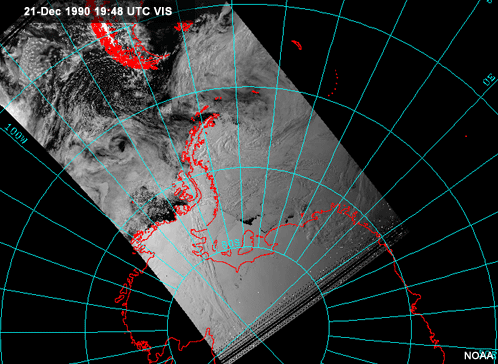
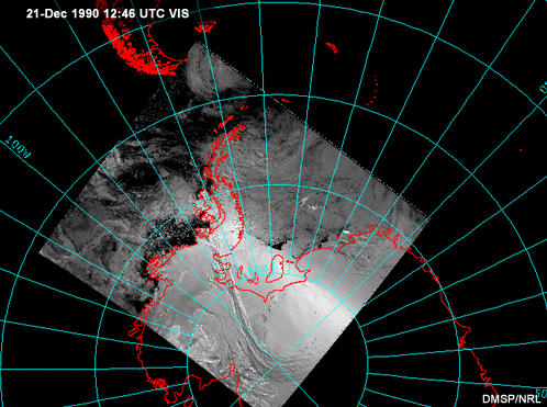
Near the poles, polar-orbiting satellite data assumes a greater role in forecasting operations, since geostationary satellites provide little or no coverage. The two ongoing operational polar-orbiting imaging programs are the NOAA AVHRR and the DMSP OLS. The imager instruments on these two satellite systems often produce similar images.
For example, compare the two images here.
The AVHRR image covers a larger area, but otherwise they look similar. The main advantage of AVHRR is that it has 5 spectral channels, which allow observation of the earth's surface at different wavelengths. DMSP, on the other hand, has only two spectral channels. However, it has a spatial resolution that can be as high as 0.5 km and does not degrade towards the scan edge as does the AVHRR.