Media elements used in this module are protected by a variety of copyright licenses. Please use the "copyright terms" link associated with each item below for more information.
Description:
35-year average monthly snowfall totals (inches) in Denver, Colorado.
File Name:
climo_snow_denver_inch.gif
Credits:
NOAA/NWS
Copyright Terms:
COMET Standard Terms
of Use
Description:
35-year average monthly snowfall totals (mm) in Denver, Colorado.
File Name:
climo_snow_denver_mm.gif
Credits:
NOAA/NWS
Copyright Terms:
COMET Standard Terms
of Use
Description:
Political map of Central Rockies region of U.S. with topgraphy derived from AWIPS.
File Name:
map_central_rockies.gif
Credits:
NOAA
Copyright Terms:
COMET Standard Terms
of Use
Description:
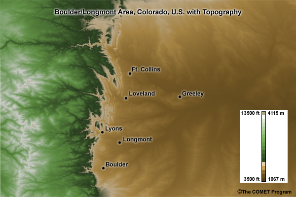
Regional map of Boulder/Longmont area, Colorado, U.S. with topgraphy.
File Name:
map_co_foothills.jpg
Credits:
©The COMET Program
Copyright Terms:
COMET Standard Terms
of Use
Description:
Regional map of northwestern Colorado, U.S. with topgraphy derived from AWIPS.
File Name:
map_northern_co.gif
Credits:
NOAA
Copyright Terms:
COMET Standard Terms
of Use

Description:
Political map of the Untited States.
File Name:
map_us_poli.jpg
Credits:
©The COMET Program
Copyright Terms:
COMET Standard Terms
of Use
Description:
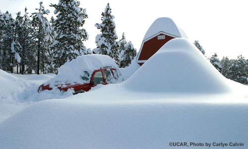
Lots of snow west of Boulder Colorado, March 20 2003. Photo courtesy of Carlye Calvin, copyright UCAR.
File Name:
snow_pics_calvin_20mar2003.jpg
Credits:
©UCAR, photo by Carlye Calvin
Copyright Terms:
COMET Standard Terms
of Use
Description:
Storm snowfall totals in the Denver/Ft. Collins area of Colorado, 17-20 March 2003.
File Name:
snowtotals_mar17-20storm2003.gif
Credits:
NOAA
Copyright Terms:
COMET Standard Terms
of Use